


64 km | 77 km-effort

User


FREE GPS app for hiking
 SityTrail
IGN / Geographical institutes
SityTrail World
The world is yours!
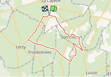
Trail Walking of 14.2 km to be discovered at Hauts-de-France, Aisne, La Capelle. This trail is proposed by tracegps.
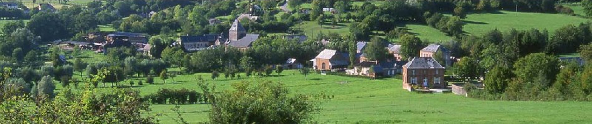
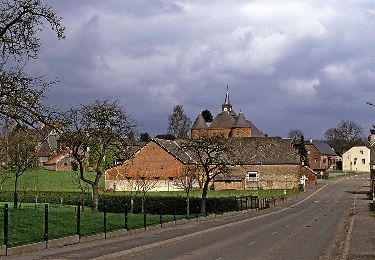
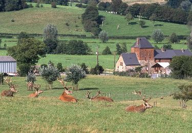
Avec son hippodrome international, La Capelle est un carrefour hippique dont la réputation n'est plus à faire. Tout près, ce circuit évolue entre pâturages, haies de charmes et habitat en brique. Toutes les infos sont ICI


Mountain bike
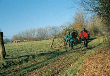
Mountain bike
Walking

Walking

Electric bike
Walking
Walking
Mountain bike
Mountain bike